

LOGIN
SITE LOGIN


NEWSLETTER SIGNUP

-
April 23, 2024A look behind the life of ski ambassador Travis Finlayson. From backcountry skiing to whitewater canoeing to mountain biking Travis balances his love of the outdoors with being and husband and...
-
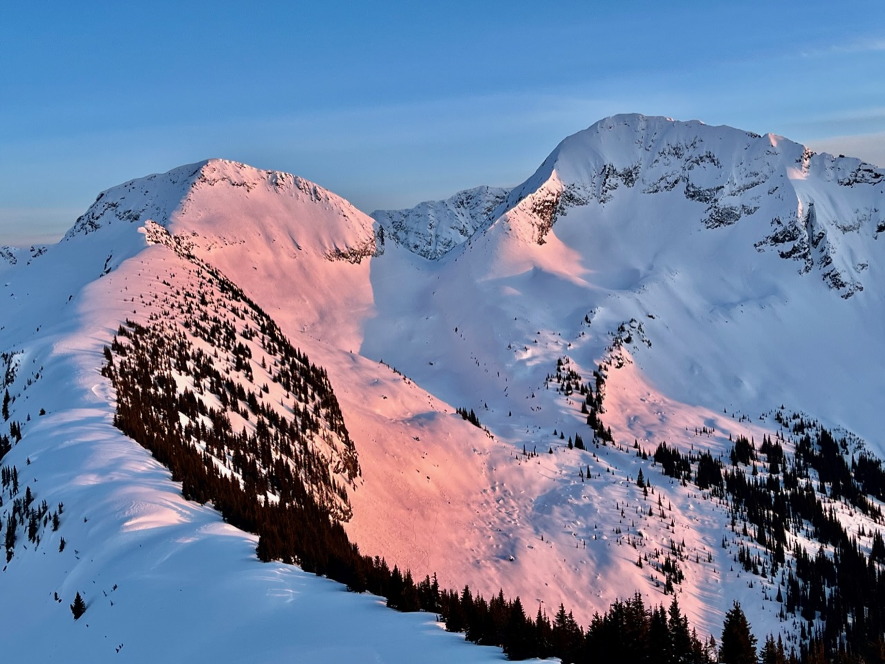
April 21, 2024The cool temps and clear skies have made for excellent travel conditions lately. Here's an edit from a quick ski tour from North Bannock Creek to Shannon Creek through the...
-
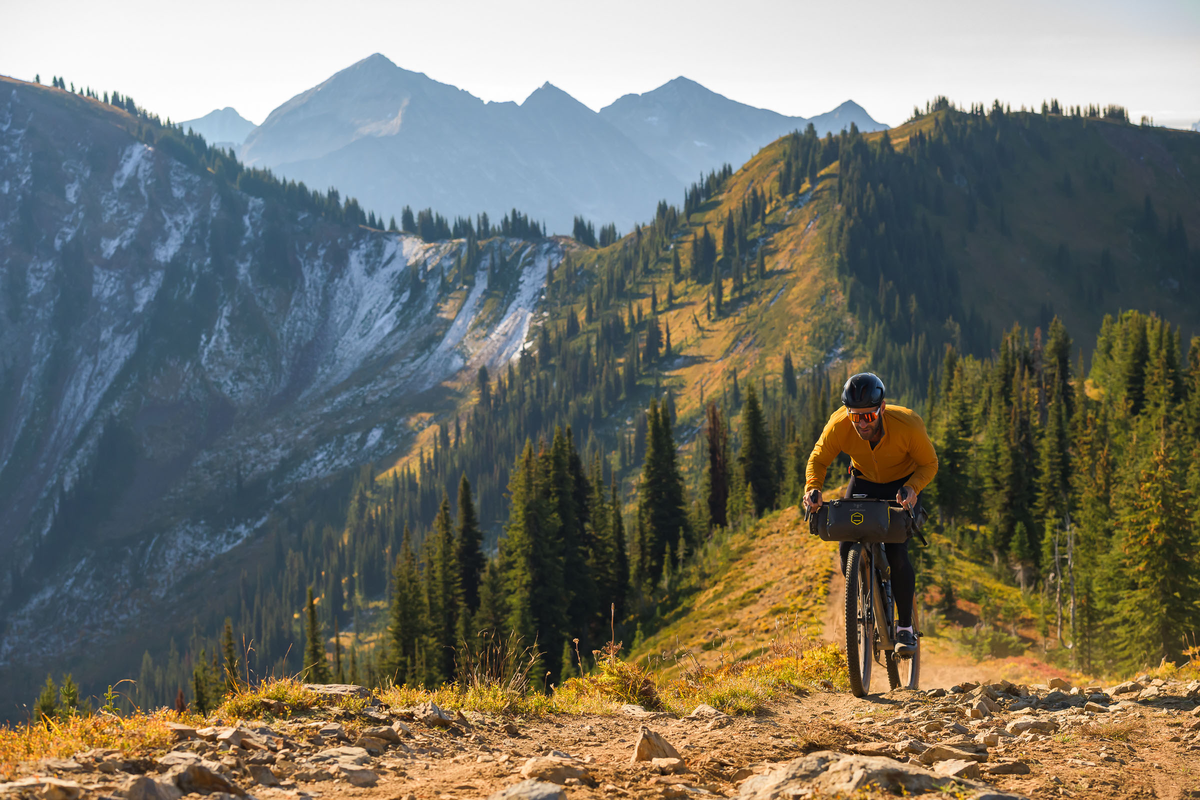
April 21, 2024As we look to transition from winter into summer my mind begins to think more to the biking side of adventure. I just recently came across this website The Path Less Paved from...
-
April 19, 2024Hard to believe winter is coming to a close. As I watch as all my hardcore ski buddies putting their skis to bed and taking out their mountain bikes it is interesting to reflect on the...
-
April 17, 2024Have you ever bought an overpriced waterproof/breathable jacket only for it to not really keep you dry? Do you think the Gore-Tex fabric has failed or just not working to begin with? Or maybe it...
-
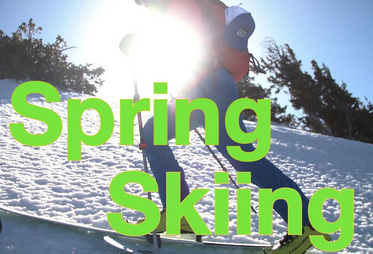
April 15, 2024Well, it's that time of the year again when we in the snow world trade our ski boots for a pair of flip-flops and enjoy the sun. It is also a time for us in the professional world of...
-
April 13, 2024Spring is at our doorstep and the Black Diamond team is here to support you to make sure you are outfitted with the best possible gear for your journeys on the trail or up the wall. That is why...

-
April 13, 2024Backcountry Access [EDGE]ucation is back and better than ever—with a second season of no-frills backcountry education tips from BCA co-founder Bruce “Edge” Edgerly. In a series...
![BCA [EDGE]ucation - Don't Get Overwhelmed](/web/default/files/users/1048/posts/2024/Backcountry-Access-%5BEDGE%5Ducation.jpg)
-
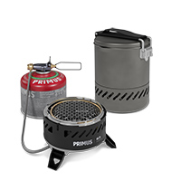
April 11, 2024Spring 2024 is the launch date of Primus’s new Ulti Stove System which is a combination of a new stove and pot system for quick and efficient cooking in the backcountry. What makes the Ulti...
-
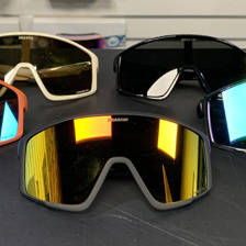
April 9, 2024Dragon has several new Goggles and Sunglasses coming out for Spring and Fall 2024 and we wanted to highlight a few of these for you. The Dragon DX3+ are an over the glasses goggle and...
-
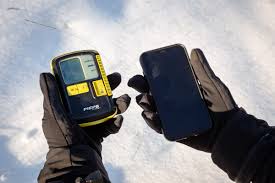
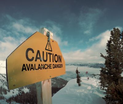
April 7, 2024It seems the talk of the avalanche industry this year has been electromagnetic interference. Avalanche Canada is talking about it. I have seen multiple articles and papers on it. And...
-
April 6, 2024Last week, over a poutine at Whitewater, my 13 year old asked when he could come ski touring with the crew on a Sunday. As a former ski patroller, and a pretty conservative back country...
-
April 4, 2024Have you ever wondered what makes backcountry skiing in the spring so amazing? Second only to a big pow day, a spring ski tour can be some of the best turns of the year. Sure, it's not going...
-
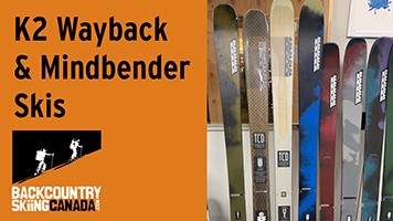
April 2, 2024New from K2 for the 2024/25 Ski season is the all-new Omen Skis which are a freestyle-specific ski, as well, the more freeride Reckoner Ski line which is fully revamped with all-new construction...
-
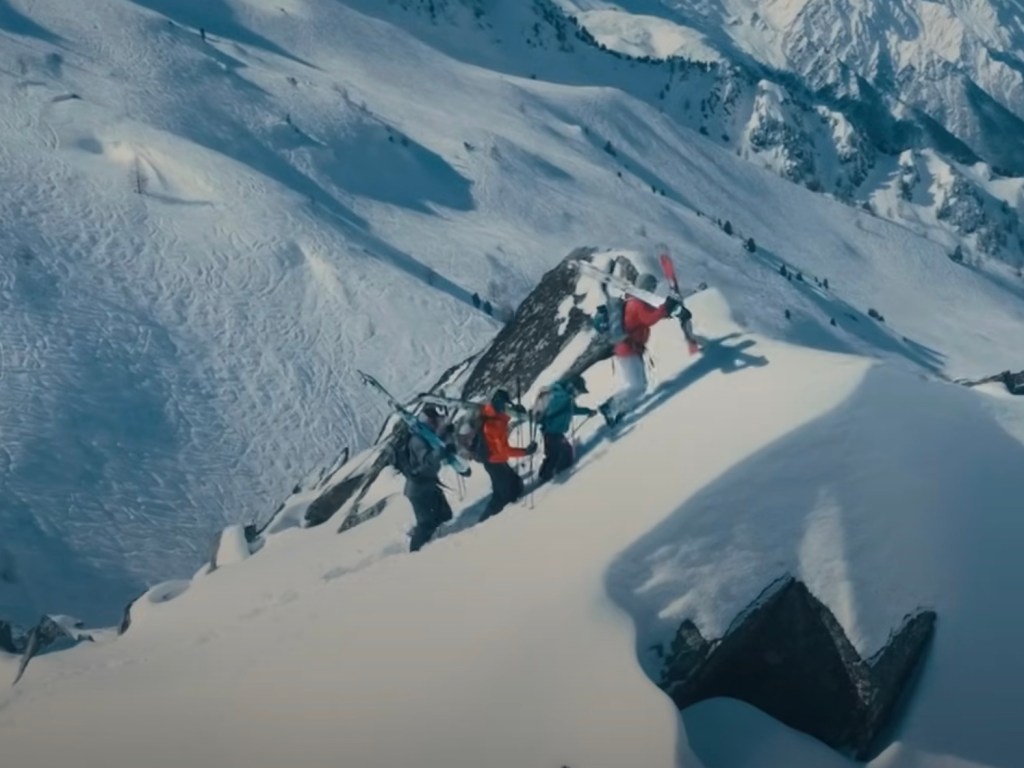
March 30, 2024Backcountry Skiing Canada is pleased to continue our partnership with North Shore SAR and Andre-Jean to update you on the North Shore mountain snowpack conditions. This is AJ's last...


Copyright © 2023-2024 Backcountry Skiing Canada. All Rights Reserved.