

SITE LOGIN
TOP VIDEOS

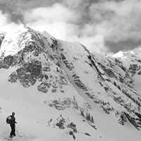


Backcountry Shames Map
Backcountry Shames is a topographic route map for backcountry skiing near Shames Mountain ski area in northwestern BC.
|
|
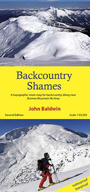
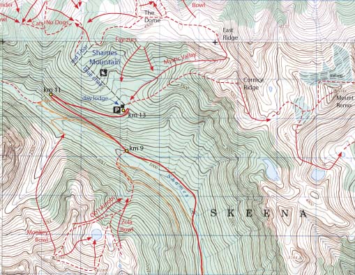
Backcountry Shames describes backcountry skiing near Shames Mountain ski area in nothwestern British Columbia. Routes are marked on a 1:50,000 scale topographic map and include information on ski ascent routes, ski runs, popular names, backcountry cabins, driving distances and parking areas.
Features:
- 24x37" size
- customized topographic map
- detailed ski routes
- backcountry ski runs
- backcountry cabins
- waterproof, tearproof
- table of slope angle relative to contour spacing
- 1 km UTM grid lines
- latitude and longitude
- three-dimensional shaded relief
- metric conversion table
Backcountry Shames is a customized topographic map based on the 1:20,000 BC Provincial Government TRIM maps which are produced from 1:40,000 scale black and white aerial photographs.
PRICE: $25.00