

SITE LOGIN
-
REVIEWS
- Ski Gear
- Clothing
- Accessories
- Off-Season Gear
- Lifestyle
- Lodges and Accommodation
- Nutrition
- Manufacturers
- Destinations
- Training
- Gear of the Year
- Best New Summer Gear
- Holiday Gift Guide
- Pro Skier Interviews
- FORUMS
- STORE
- ROUTES
- LODGING
-
VIDEOS
- 2022/23 Gear Reviews
- 2021/22 Gear Reviews
- 2020/21 Gear Reviews
- 2019/20 Gear Reviews
- 2018/19 Gear Reviews
- 2017/18 Gear Reviews
- 2016/17 Gear Reviews
- 2015/16 Gear Reviews
- 2014/15 Gear Reviews
- 2013/14 Gear Reviews
- 2012/13 Gear Reviews
- 2011/12 Gear Reviews
- 2020 Outdoor Retailer
- 2019 Outdoor Retailer
- 2018 Outdoor Retailer
- 2017 Outdoor Presscamp
- 2017 Outdoor Retailer
- 2016 Outdoor Presscamp
- 2016 Outdoor Retailer
- 2015 SIA Show
- 2014 Outdoor Retailer
- 2013 SIA Show
- 2012 Outdoor Retailer
- Tips and Tricks
- Backcountry Skiing
- SAFETY
- ABOUT
- REVIEWS
- FORUMS
- STORE
- ROUTES
- LODGING
-
VIDEOS
- 2022/23 Gear Reviews
- 2021/22 Gear Reviews
- 2020/21 Gear Reviews
- 2019/20 Gear Reviews
- 2018/19 Gear Reviews
- 2017/18 Gear Reviews
- 2016/17 Gear Reviews
- 2015/16 Gear Reviews
- 2014/15 Gear Reviews
- 2013/14 Gear Reviews
- 2012/13 Gear Reviews
- 2011/12 Gear Reviews
- 2020 Outdoor Retailer
- 2019 Outdoor Retailer
- 2018 Outdoor Retailer
- 2017 Outdoor Presscamp
- 2017 Outdoor Retailer
- 2016 Outdoor Presscamp
- 2016 Outdoor Retailer
- 2015 SIA Show
- 2014 Outdoor Retailer
- 2013 SIA Show
- 2012 Outdoor Retailer
- Tips and Tricks
- Backcountry Skiing
- SAFETY
- ABOUT
TOP VIDEOS
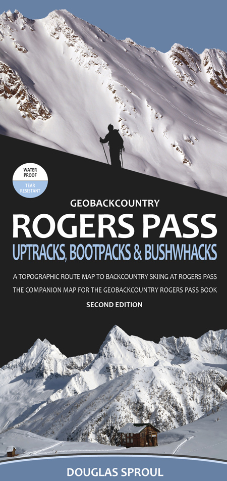
Rogers Pass Uptracks, Bootpacks & Bushwhacks Map - Volume 3
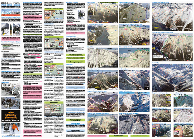
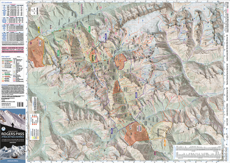
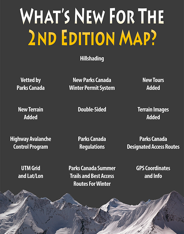
This is the 2nd Edition Rogers Pass Uptracks, Bootpacks & Bushwhacks Map for backcountry skiing at Rogers Pass, BC. This map is 38” x 27” and folds to 4.25" x 9", the map is at a 1:42,500 scale and has 173 new routes for a total of 273 routes. It includes summer trails and the best winter access routes, is GPS ready with UTM grid and lat/long coordinates as well as a quick reference for location info to parking areas, backcountry huts, Parks Canada Designated Access Routes and Parks Canada trails.
PRICE: $30.00
|
|
|
• Designed in Revelstoke, BC. Printed in Canada.
• Second Edition
• 38” x 27” Double-sided folded to 4.25" x 9"
• Waterproof | Tear proof
• Scale | 1:42,500
• Contour Interval | 20 Metre
• Projection | Transverse Mercator
• Datum | North American 1983
• Coordinate System | NAD 1983 UTM Zone 11N
• 173 new routes! Total routes = 273!
• Parks Canada Regulations and Designated Access Routes
• High-resolution, illustrated photos
• Parks Canada Winter Parking and Permit Areas
• Local place names
• Approach trails, huts, foot bridges and more!
PRICE: $30.00
Copyright © 2023-24 Backcountry Skiing Canada. All Rights Reserved.


