Rogers Pass Terrain Atlas.
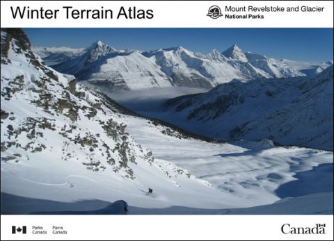
Now that Canada day has come and gone we can begin looking forward to getting the remainder of the summer out of the way. Some of us will go on vacation, some will do summer sports and other will sit at home pouting , cruising google earth and guide books until October. If you happen to be a summer pouter then I have a summer reading assignment for you. The famed Rogers Pass backcountry ski paradise is located in Glacier National between Golden and Revelstoke and while a comprehensive guidebook has been released in the last two years ( see here. http://www.geobackcountry.com/book ) I am a firm believer that more photos never hurt and one can never have too many photos.
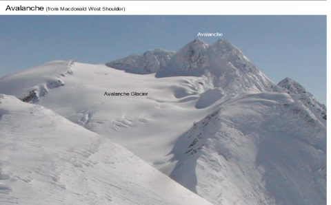
Mt Avalanche
As with any government website the useful information can be buried in obscurity and can be easily missed and the Glacier National Park website is no different. Hidden deep in the click through links is a terrain photo atlas loaded with hundred of terrain photos that cover almost every square centimetre of the park. The Atlas is a PDF document that is broken down into zone subsections or alternatively you could download the entire atlas in a photo ready high-resolution PDF file. I've gone through the trouble of finding it and I thought I would share it with the Backcountry Skiing Canada community. Be sure to bookmark this page as only the magic combination of keywords on google will unlock it for you should you lose this link. Happy day dreaming. http://www.pc.gc.ca/eng/pn-np/.....iv1/b.aspx
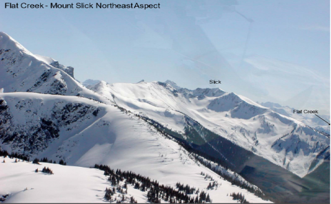
Flat Creek-Mount Slick
