Digital mapping and navigation: A User’s Guide for Backcountry Skiers
Digital mapping and navigation tools have dramatically changed both the way people plan trips and move through the mountains.
My observation is that most people use digital tools in order to improve efficiency and safety in the mountains. However, navigating the apps themselves can come with a steep learning curve. The tools are incredibly powerful but can also be overwhelming. Additionally, they come with potentially hazardous limitations that may not always be obvious.
MTN Mapping EDU was developed to help users maximize the power of digital mapping and navigation tools while minimizing the time spent fumbling through the apps. This video library consists of tutorials that focus on digital mapping applications including Caltopo, Google Earth Pro, OnX Backcountry, and Fatmap. Topics range from mapping avalanche forecasts to creating BC hut trip plans to basic functions of all programs for backcountry recreation.
MTN Mapping EDU was founded by avalanche forecaster and mountain guide Will McKay. Will is an AMGA certified Ski Guide and Apprentice Rock & Alpine Guide based in Salt Lake City, Utah. He started MTN Mapping EDU after delivering recreational avalanche courses partly via Zoom during the COVID pandemic. What he noticed was that course participants wanted - and needed - coaching on how to use digital mapping tools but that there simply wasn’t enough time available in the course to add another topic. So Will combined his educational background in geography & environmental studies with his training as an avalanche forecaster and mountain guide to develop MTN Mapping EDU.
During a phone conversation last week, McKay told me that he designed this product as a supplemental, budget-friendly resource for backcountry travelers (skiers, climbers, trail runners, etc.). The entire video tutorial library is available for $25 (USD) at https://mtnmapping.com/. This includes year-round access to the tutorials - a one-stop shop for learning how to use digital mapping and navigation tools.
Current topics include:
-
General functions for backcountry skiing (Caltopo)
-
Planning a backcountry tour, including avalanche mapping (Caltopo)
-
Avalanche forecast and problem mapping onto personal maps (Caltopo)
-
Spring skiing planning (Caltopo)
-
Building a personal ski atlas (Caltopo)
-
Mapping & Planning a Backcountry Ski Hut Trip (Caltopo)
-
Mobile App Tutorial (Caltopo)
-
Mapping A PWL on a Season Map (Caltopo)
-
Basic Functions (Google Earth Pro)
-
Importing/Exporting Custom Maps from Caltopo (Google Earth Pro)
-
Overlaying Weather Forecasts, Precipitation, and Snow Data (Google Earth Pro)
-
General Functions for Backcountry Skiing (Fatmap)
-
Mapping An Avalanche Problem (Fatmap)
-
Planning a Ski Tour (Fatmap)
-
Planning a Ski Tour (onX Backcountry)
MTN Mapping EDU is an excellent resource for anyone - professional or recreationalist - who is interested in maximizing the power of digital mapping tools.
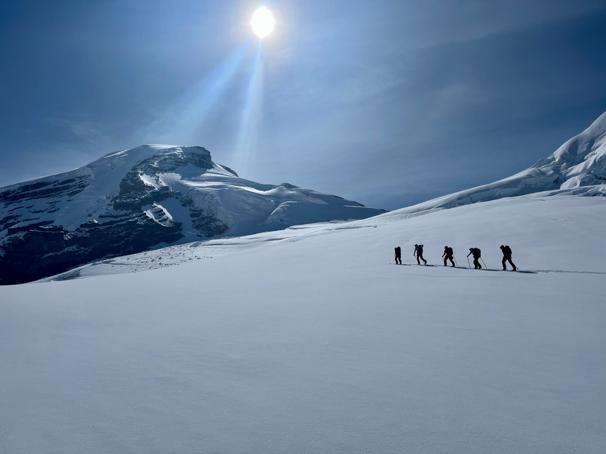
The next obvious step - after planning a backcountry tour with a digital tool - is to go skiing and transfer that information to your smartphone for use as a navigation tool.
Confession: I use my phone more than my compass when backcountry skiing. Much more.
Smartphones are so embedded in everyday life that their use and ubiquity in any environment is no longer remarkable. However, the use of smartphones in the backcountry comes with another set of strengths - and hazards - that we’re just beginning to understand.
Next week I’ll discuss the potential dangers associated with using smartphones in the backcountry and attempt to answer the question: How can users harness the power of smartphones in the backcountry while minimizing the peril?
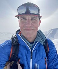
Jerry Isaak is an Associate Teaching Professor and the program lead for ski touring in the Adventure Studies Department at Thompson Rivers University in Kamloops, British Columbia. He is an AMGA certified Ski Guide and has guided backcountry ski adventures in Iceland, Kyrgyzstan, Japan, and throughout the United States and western Canada.


