Jaun De Fuca Trail. A must do on Vancouver Island's West Coast
We decided to hike the Juan de Fuca Trail in April to avoid the heat and the crowds. Having dropped a car at a friend’s parents place in Sooke we bribed them with Oso Negro coffee for a ride to Port Renfrew at the north/ west end. Looking for a cheap overnight stay, we chose the Port Renfrew Hikers huts, simple huts with a bed and four walls, perfect for a day before or after the trail. We left Port Renfrew at 8am after a good breakfast at the Coastal Kitchen Cafe, and strolled down the road to the trailhead.
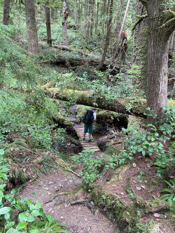
We were aiming for the first campsite at Payzant creek, as it was my first multiday hike for a while, but made it by lunchtime as it was a pretty easy trail, so decided to keep moving to the next campsite at Little Kuitsche. The trail had been marked as being closed until the next day between these two sites, but we spoke to a ranger at the trailhead, and he mentioned it was passable but not finished. There were new builds of bridges and woodwork all along this section of trail. It was a well kept trail except a few sections that needed brushing, and it led to a campsite in the woods with all new wooden tent platforms. We had this camp almost to ourselves, with just one other hiker. A pleasant but long day on the trail, hiking for 18 km in 7.5 hours.
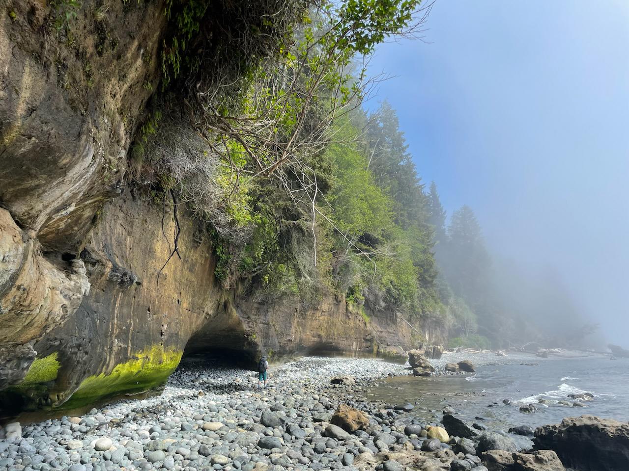
We had decided to skip Sombrio beach as we were hoping to stay away from busy campsites, and so the next camp was at Chin beach. The trail gained and lost a lot of elevation during the 12 km between the campsites. We hiked along a few stretches of beach that were deserted except for a couple of playful mink, and seals, taking an opportunity to dip feet in the ocean. During the majority of the first two days we were beset by sea fog, and the views of the Olympic peninsula were obscured, although a solitary foghorn made us aware of a human presence that was almost non existent on the trail itself. We made it to Chin beach with plenty of time to camp, taking approximately 5 hours for the 12km. Chin beach was a busy campsite, as it seemed a few people had started from the south/ East timing their hike to anticipate the opening of the section we had passed through earlier, which explained the deserted trail before. Having pitched our tent in a small grove next to the beach, the next couple of hours were spent enjoying the views in the sun on the beach whilst it drizzled on our tent in the trees on and off.
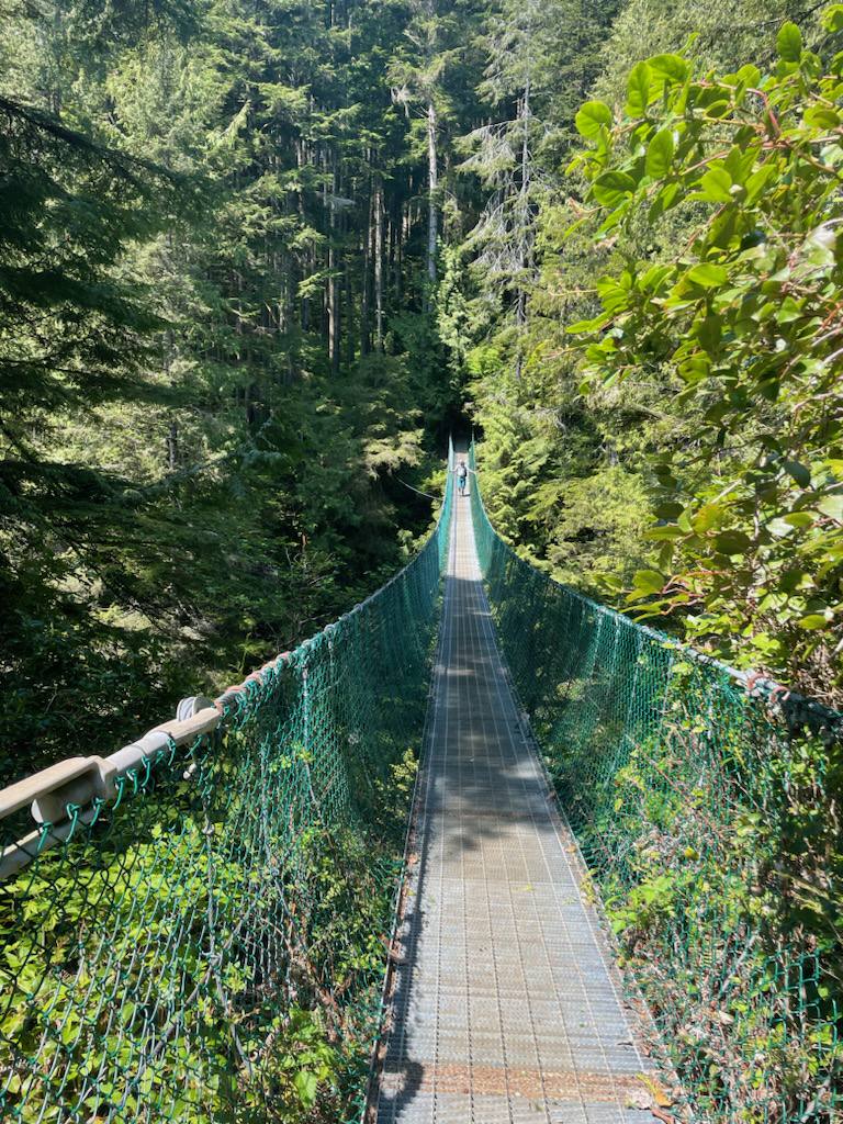
The next section of trail between Chin and Bear beach is marked on the BC Parks map of the JDF as “Most Difficult”This proved to be the most challenging hiking, with large elevation gains and losses, and a couple of suspension bridges to test the vertigo. This section of the trail also has a few parts that leave the edge of the ocean and climb steeply through the forest. This gives a different feel to the hiking for some of the two days, reminding us of the interior's old growth forest hikes. The 12km took a little longer at around 6.5 hours.
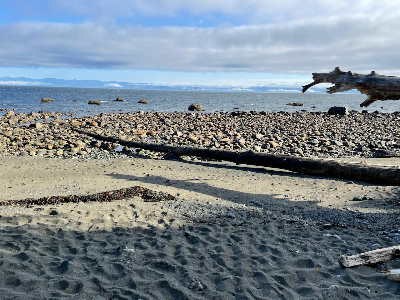
We came down to the water at Bear Beach to be greeted by another mink and the only two hikers we had seen all day, who passed us going north/ east at the end of the beach. We had the campsite to ourselves completely, and didn’t see a soul until starting to hike the next day.
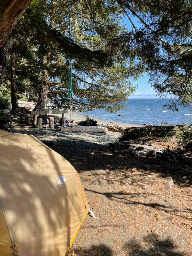
The next morning the last 9km to the trail head at china beach was supposed to be a stroll with light packs. This was negated by taking the wrong trail from Bear Beach up into the forest for half a km before realising our mistake and turning around. The trail exits and entrances to the beaches are marked with orange buoys hung in the trees, but sections of the trail had also been flagged with orange flagging in places where the trail was not obvious, or was being repaired. We followed the flagging, leaving the beach too early. This was down to our preparation in just using the paper copy of the BC Parks map. In finding the trail it became obvious it was the long weekend, with large groups of people every kilometre or so from about 2 km in.
The trail was its cleanest in this section, and the views were stunning from the cliffs, as the sun had finally burned off the sea fog from the last two days. The last 2 km through the forest up from Mystic beach was a highway with easy hiking to finish the JDF.
A note on the tides. We were lucky with our timing hiking the trail in that the tides lined up almost perfectly with when we needed to cross beaches, with the high being at night, and not a spring tide. It is important to check the tide timetables for Port Renfrew before you go as a fair amount of the beaches are impassable at high tide, and some of the camping spots are in danger of flooding on high spring tides, as Backcountry Skiing Canada found when they went a couple of years ago—read that post here.
As a first multi day hike in a while, and an introduction to West Coast BC hiking the Juan De Fuca trail has whetted the appetite for more.
We took 3 nights to hike the 49 km ( or a round 50 km if you include the trail finding mistake!) and it can be done with the camp spots along the way in 3-5 days. For you trail runners out there it is possible to run it in a day, and the record stands at 6 hours and 15 minutes! The campsites have pit toilets, bear proof food storage and all are situated close enough to a creek to fill up water. Boil and filter water on the trail as the water is not potable.


