Spring Hike in Kananaskis Country
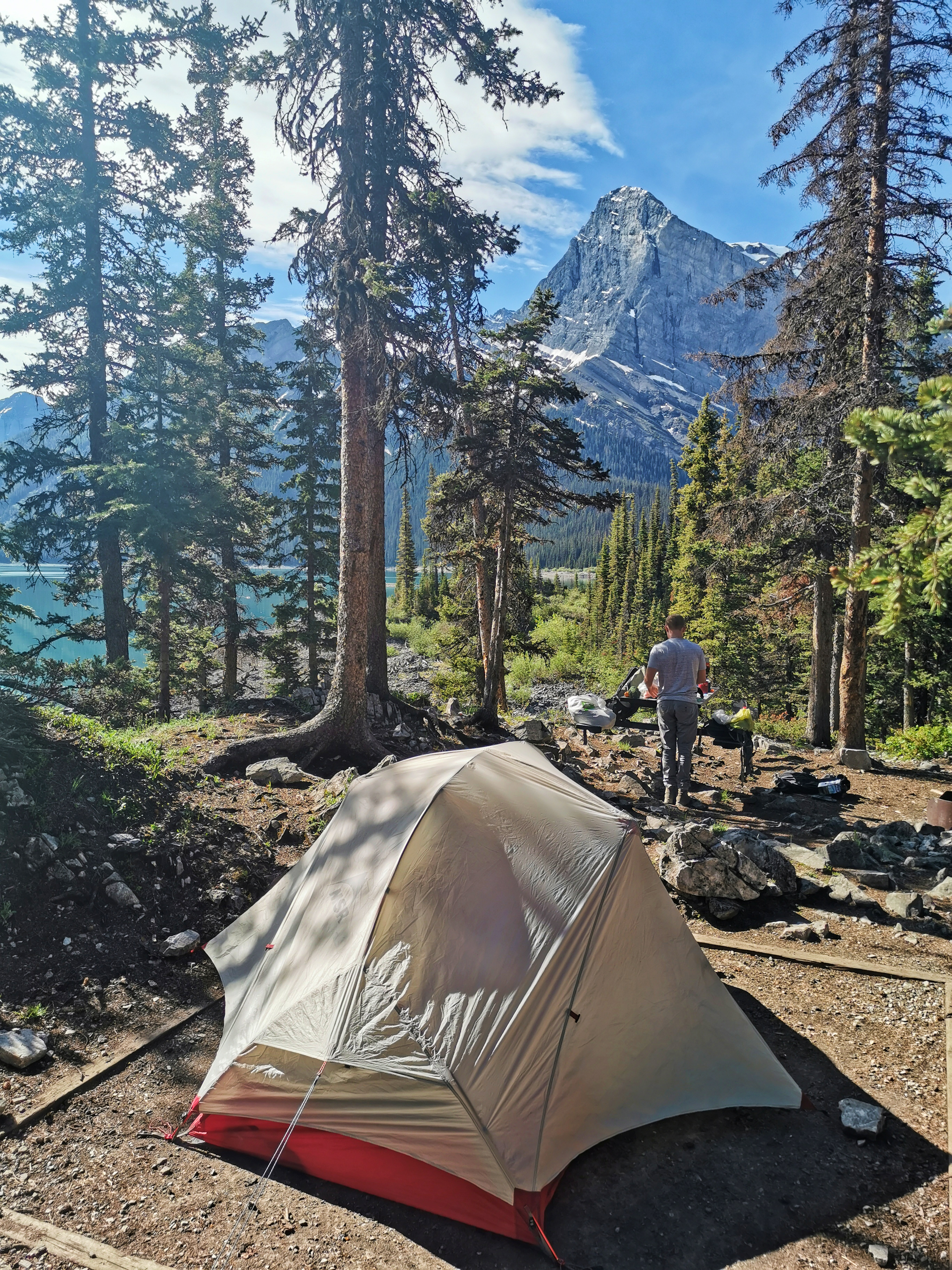 Morning sun at Point Campground on Upper Kananaskis Lake.
Just got back from a little jaunt into the Kananaskis backcountry and figured I would share some photos and offer a bit of a conditions report. We started our hike from Upper Kananaskis Lake, arriving at Point Campground quite late as we had spent the day driving, playing disc golf, and climbing. We opted for a late start the next day as our late arrival did not deter us from having a fire and swapping stories late into the night.
That morning we continued on towards Beatty Lake, enjoying good weather and dry trails. Favourable conditions didn't last long and we ran into patches of snow around 1900m, which quickly turning into snowbound trails at about 2000m. The snow slowed us down quite a bit as it not only hid the trail from us leading to route finding, but offered the occasional posthole up to our waists. If the addition of snow to our travels didn't dampen our spirits, the thunderstorm and accompanying showers certainly did. By the time we reached Three Isle Lake, we were already making plan B's and C's in case we decided not to follow through with our original plan.
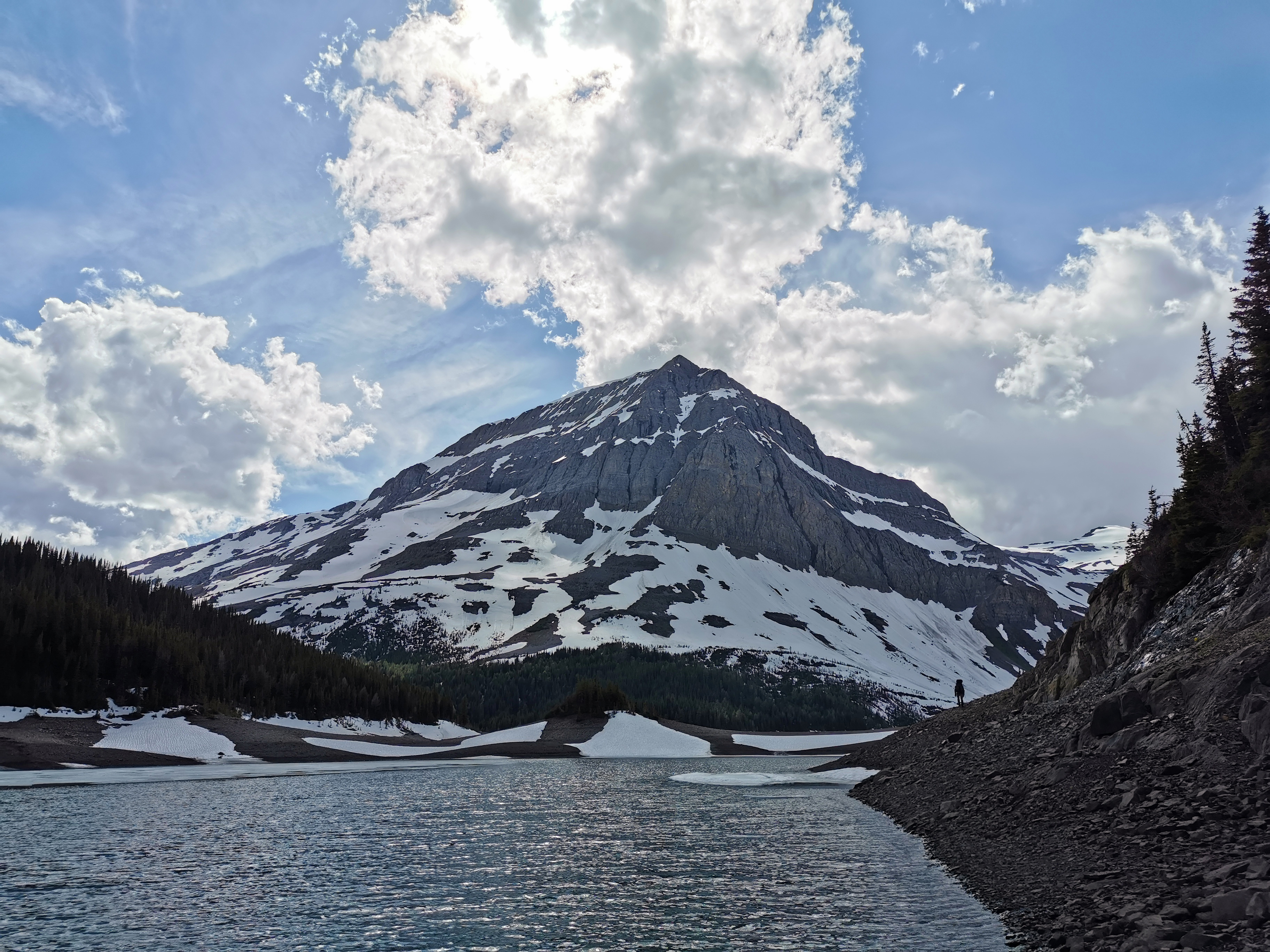
Snow free travel along the shores of Three Isle Lake.
Fortunately, Three Isle Lake marked the end of the rain and the lake shore offered easy travel so we were able to make good time to the bottom of South Kananaskis Pass. Returning to the snow in the trees we "enjoyed" more postholing up to the highest pass of the trip at 2306m.
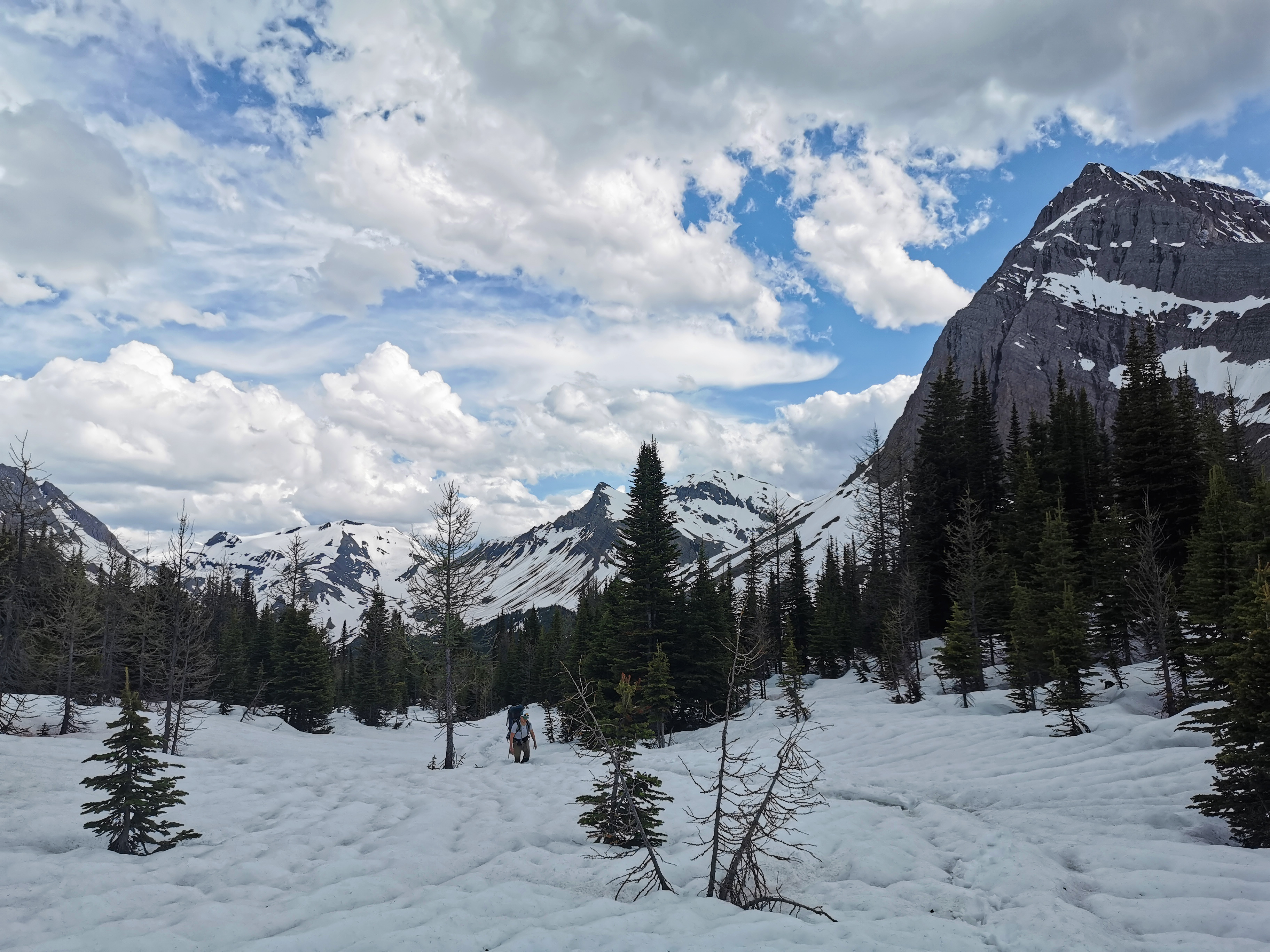 A few step atop the snow before the inevitable post hole.
Having passed the highest elevations of the trip, our confidence in the remainder of the route returned as snow thinned. The following day we began the route from Beatty Lake down to the Great Divide Trail and up the valley following the Palliser River.
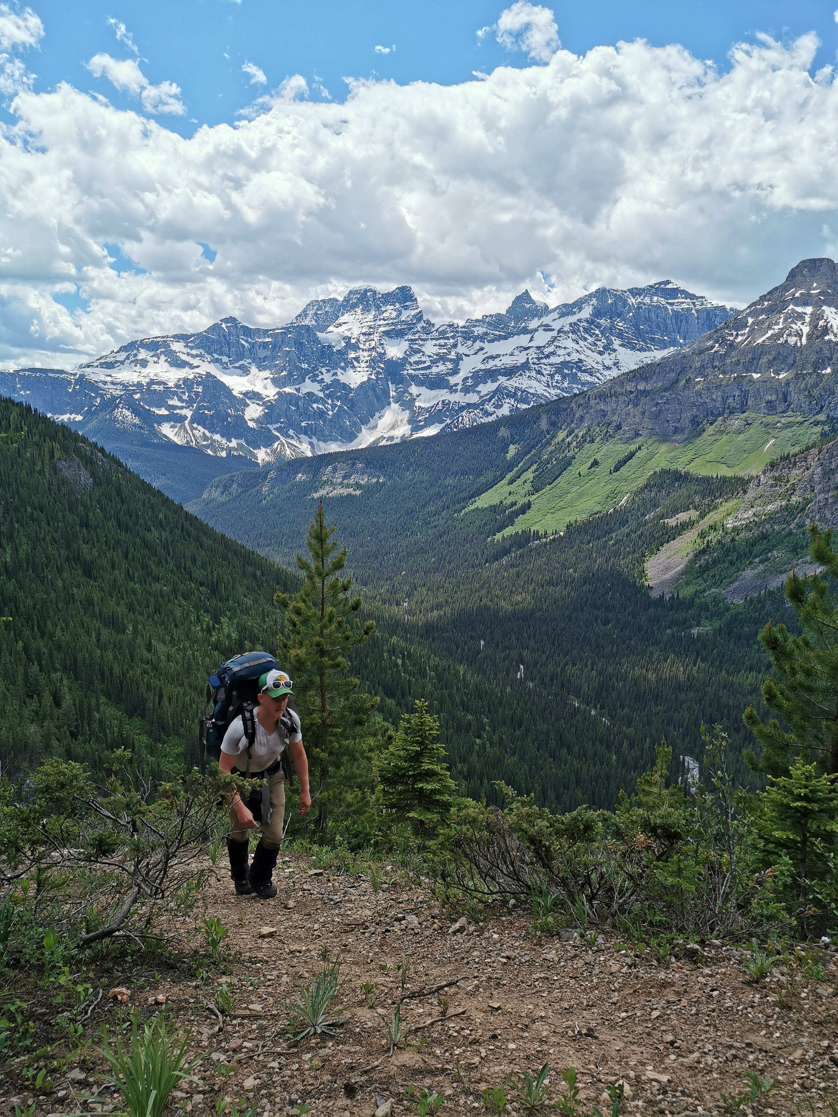
The route took us above some cliffs before dropping down to the Great Divide Trail in the valley below.
For the most part trails in the valley were dry, though a few river crossings were required that made sure our feet didn't get too used to being dry. The trail was quite beautiful and alternated between wide open meadows and lush forest. Animal signs were in no short supply and we noticed we were following the tracks of a large bear, possibly only behind by a day or so.
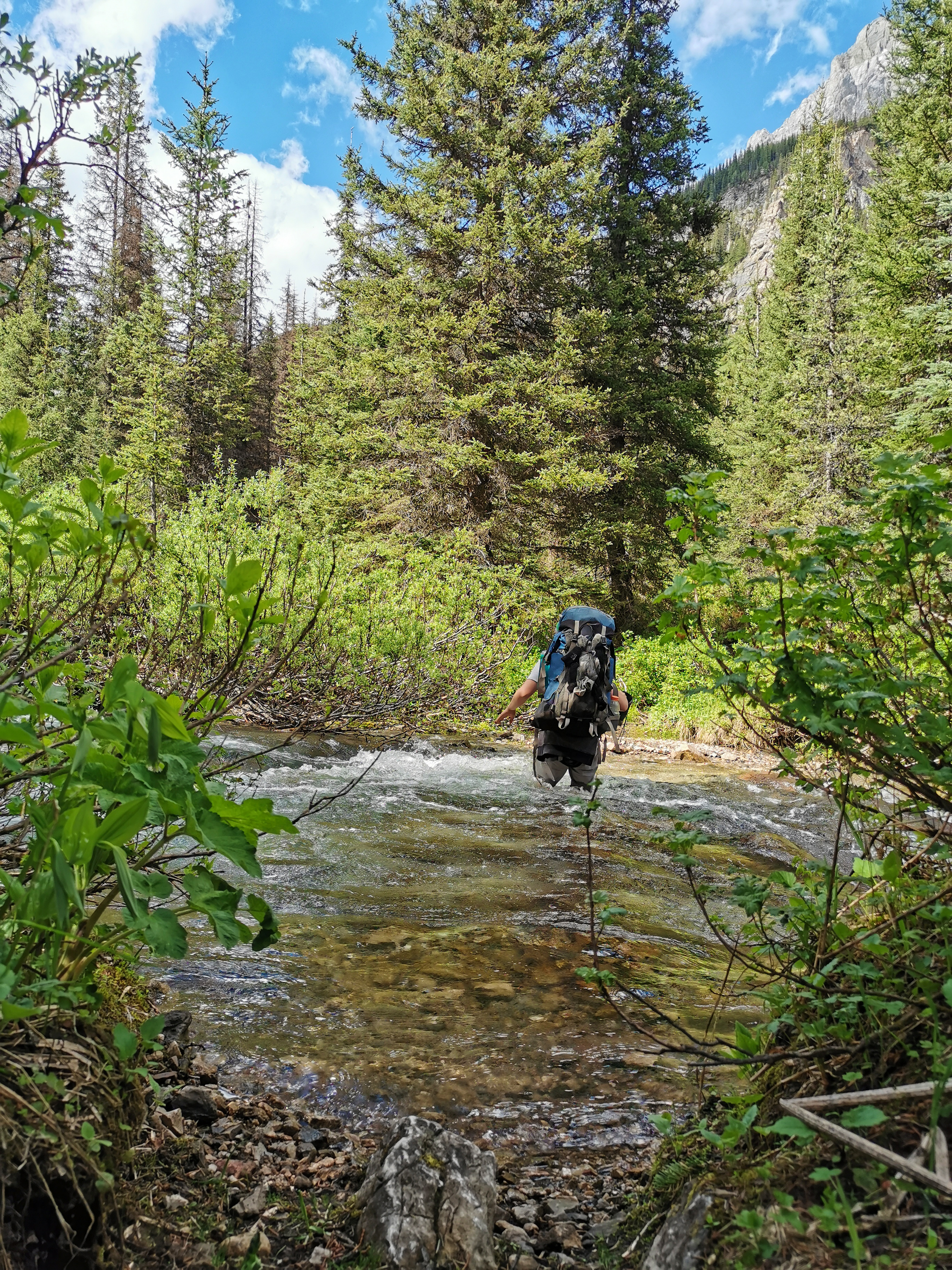
One of the many creeks to be forded.
At the head of the valley we were rewarded with an epic view of our progress from the day.
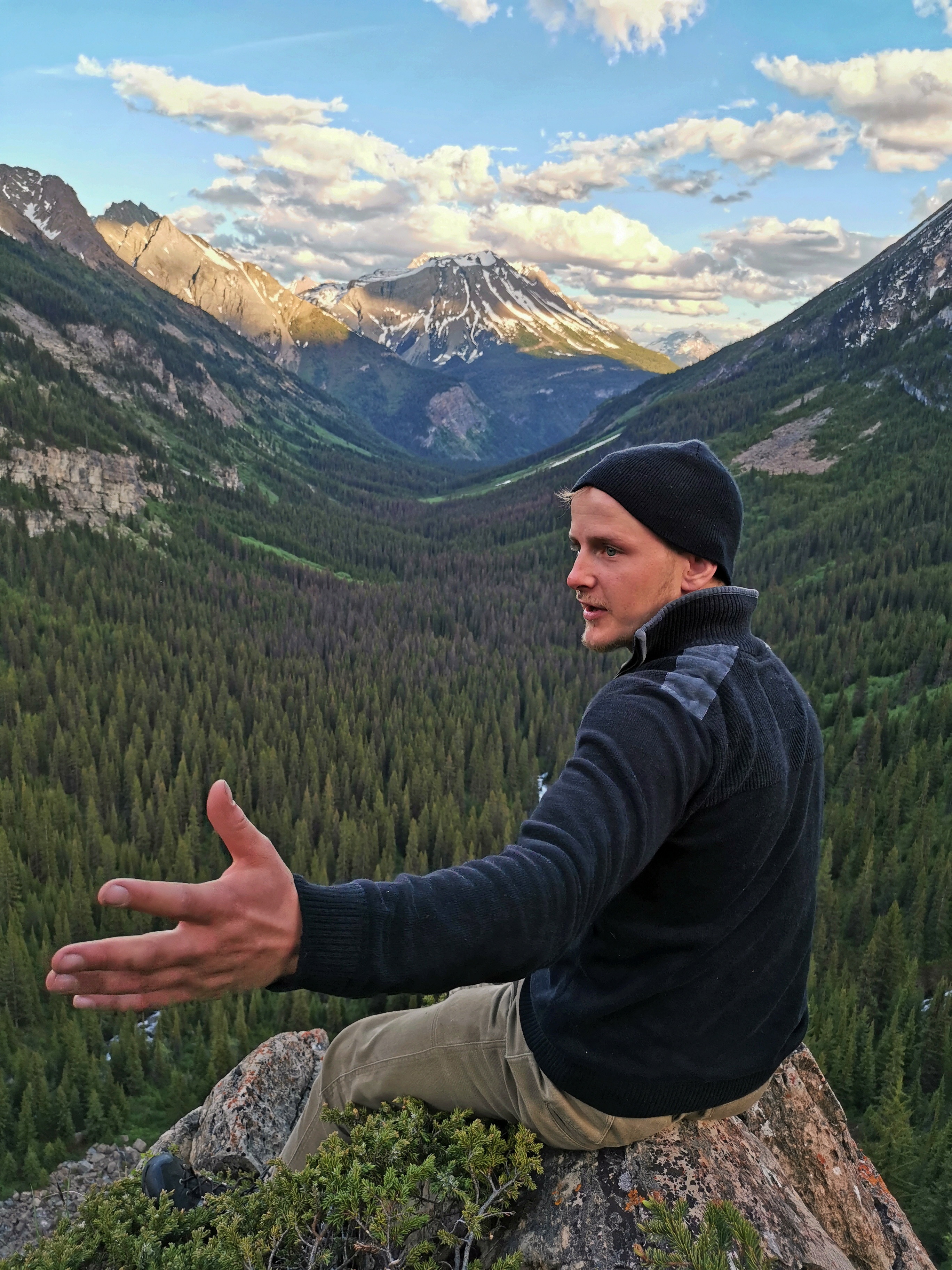
Tenzin getting stoked about the views.
We made camp short of our goal as the day was getting late and made for Palliser Pass the next morning. The snow had again returned at about 1900m, but was more patchy and less deep. Palliser Pass came much easier than the pass to the south, but still offered more than enough postholes in the few kilometres that we walked through the snow.
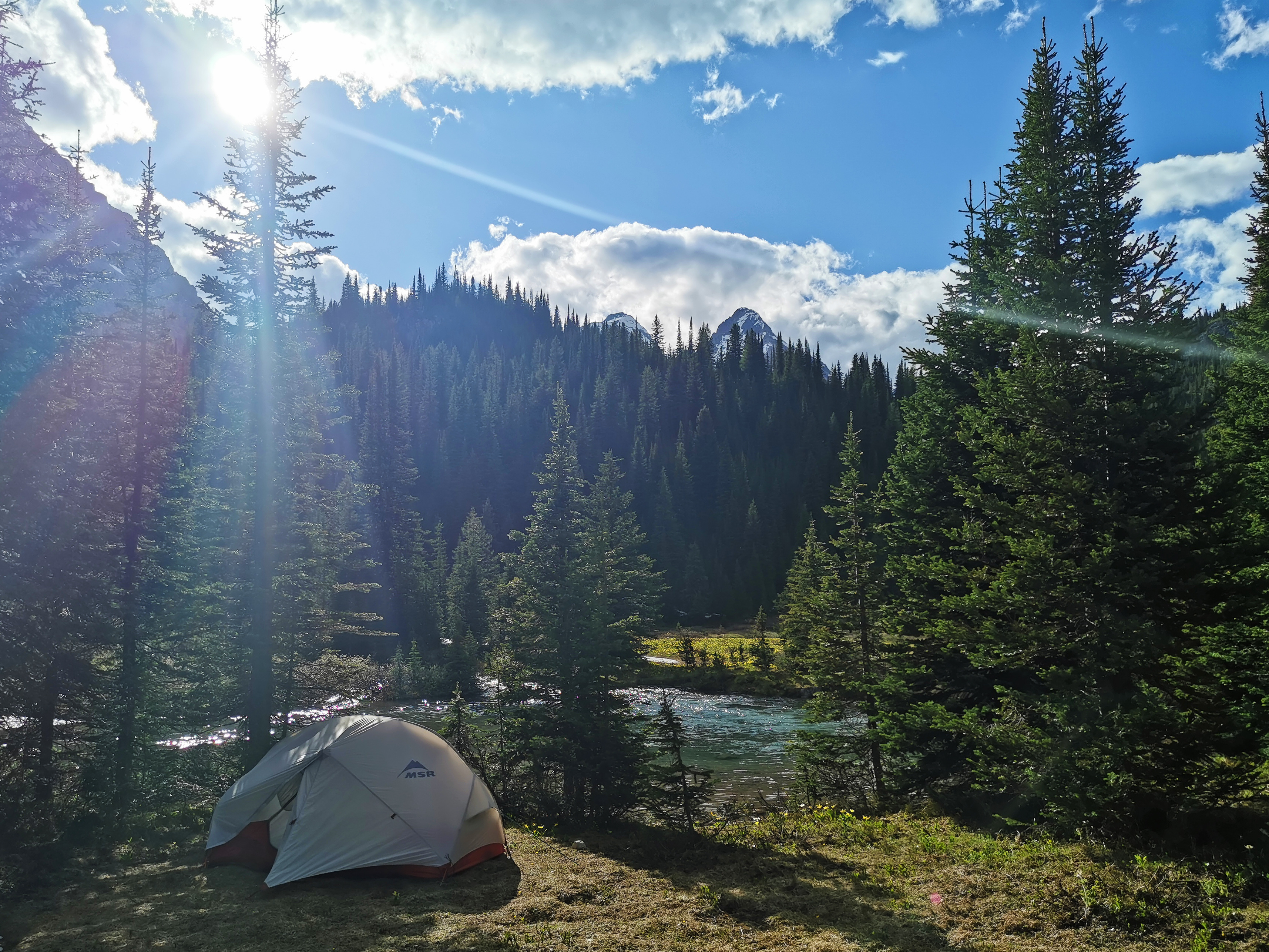 A quiet campsite just shy of the pass.
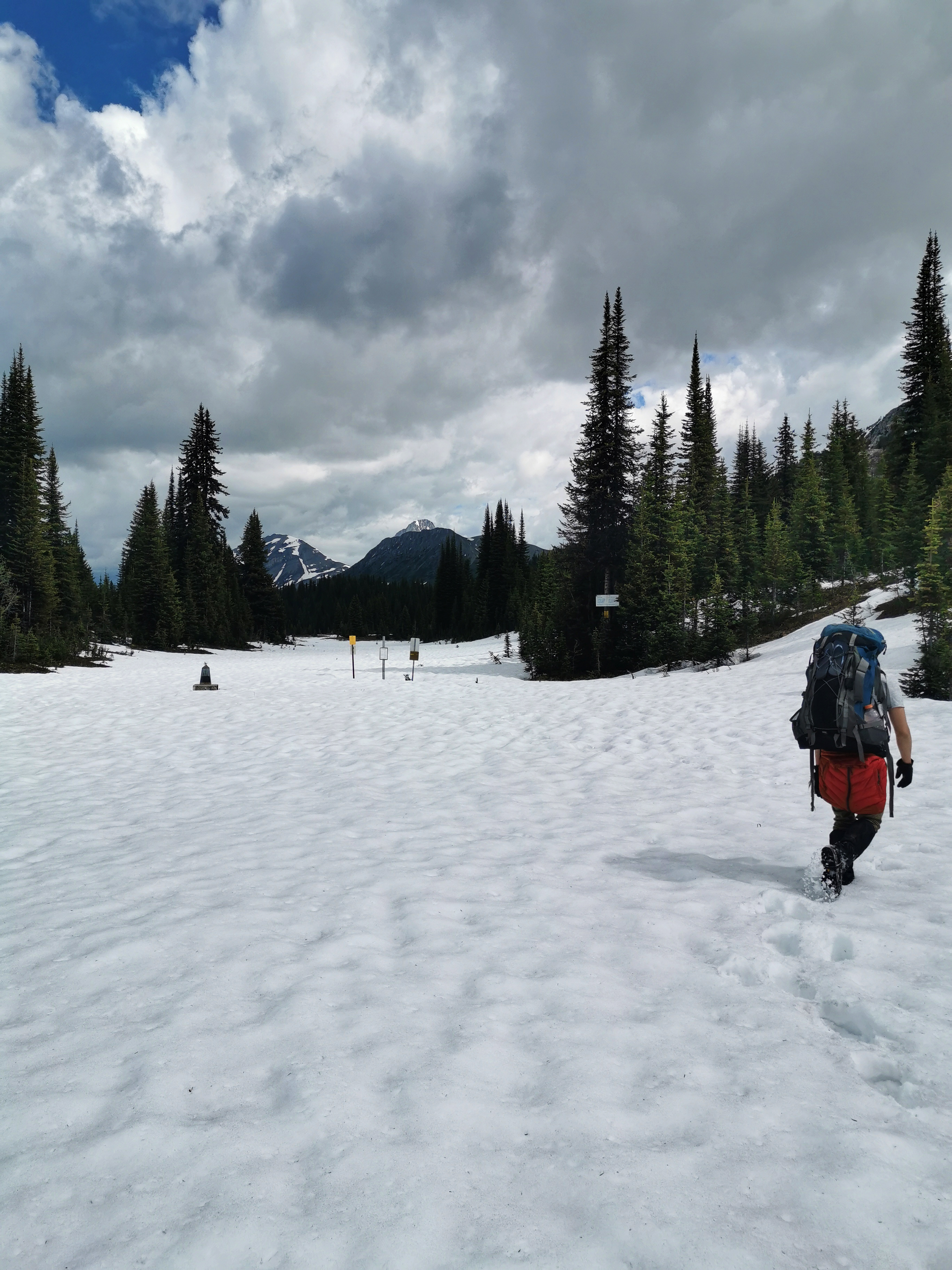 Palliser Pass, 2105m.
Once over the pass, the snow slowly became shallower as we lost elevation, though it continued down to about 1800m on the north side of the pass. The melt from the snow flooded the trail where it was visible, and we eventually lost it and had to bushwack or follow game trails for the next 6km. Despite having lost the trail we were distracted by stunning views of vast meadows and winding rivers bordered by huge rocky peaks in every direction. Once we found the trail again, it was often muddy or flooded, up until we reached the trail network near Shark Mountain. We finished our trip at the Shark Mountain Trail Head where we had left a vehicle, and celebrated with a couple cold beers.
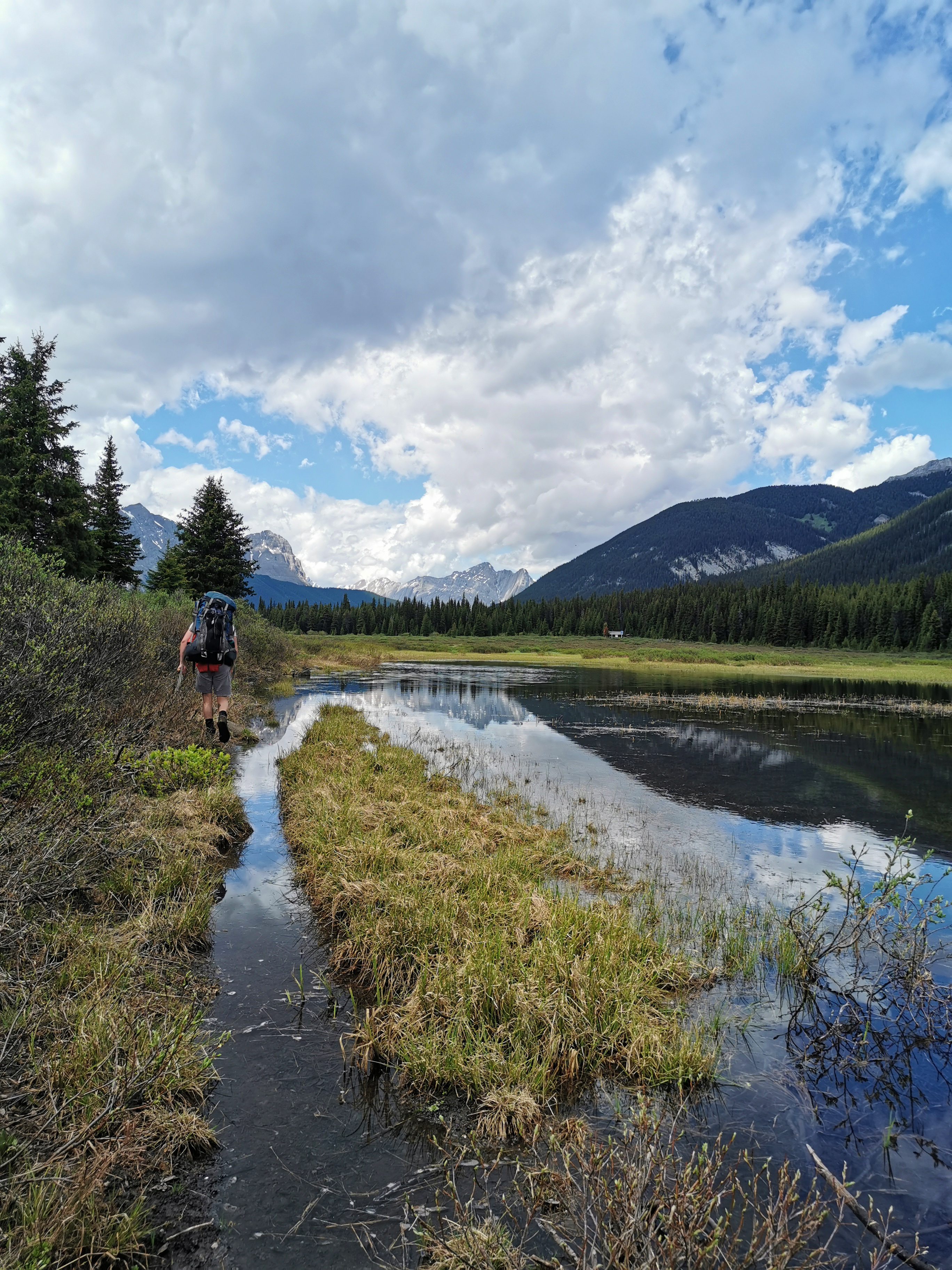 Flooded trails on the Palliser Pass Trail.
 All pictures by the author, check out more at @pistol.pan on Instagram.


