IT'S WILDFIRE SEASON. Get prepared.
It's that time of year again, unfortunately. As the wildfire season looms ahead and fires burn already across much of Canada and the US, its important (especially for us BC folks) to take the time and ensure we are prepared to navigate them.What is your emergency wildfire plan? Do you live in a vulnerable community or on a heavily forested property? Where are you keeping your valuables? What will you do and where will you go if going home is no longer an option for you? These questions used to represent extreme paranoia or doomsday prepping, but times are changing and these are real and valid concerns for those of us living in small communities across the province.
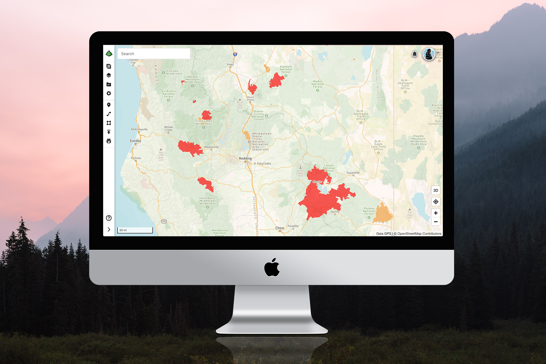
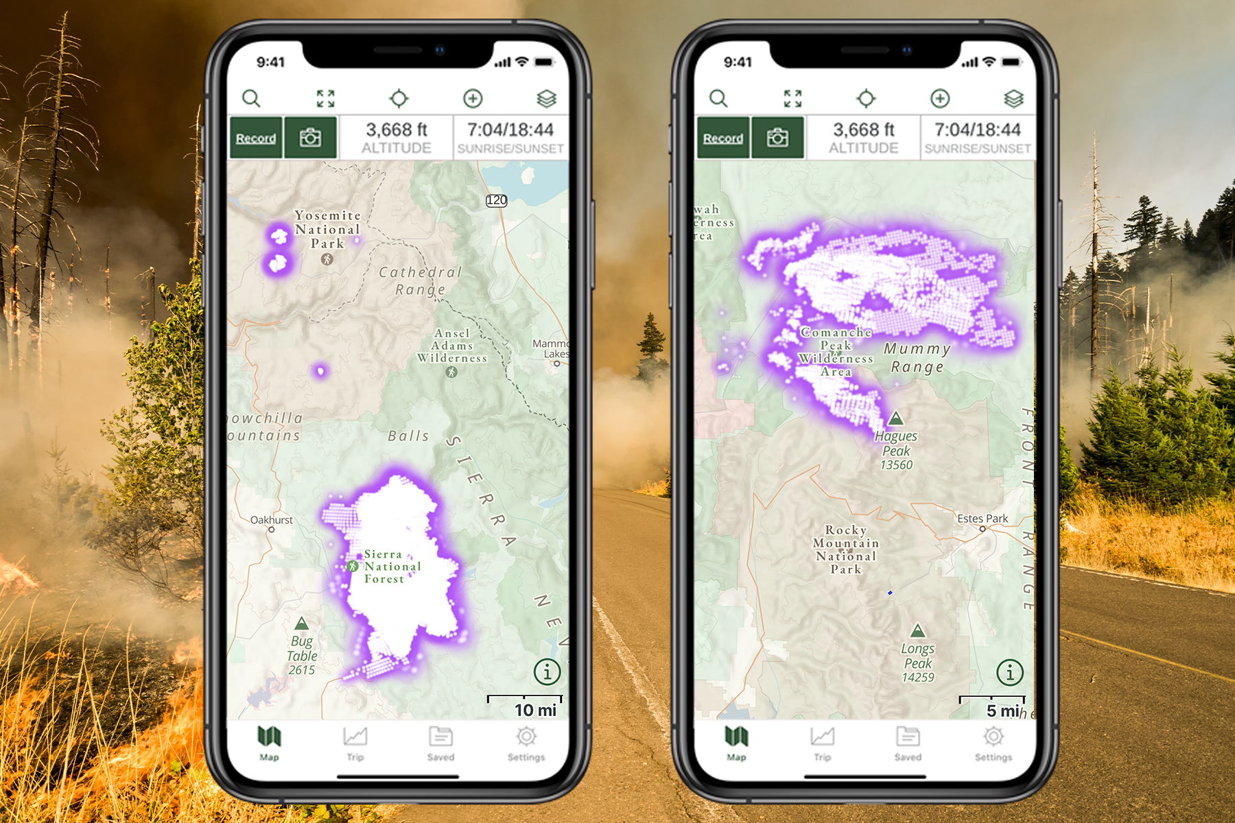
And as for venturing into the bush for work purposes or for recreation, there are resources we can access to help us forecast for smoke and air quality and to prepare for possible emergencies. Gaia GPS mapping software is but one of those resources, providing detailed smoke maps and short-term forecasts across the Continental US. These are free layers accessible on the maps (which will hopefully extend further North into Canada as the app develops.) Check out the Gaia GPS blog post for more details here.
For Canadians, try firesmoke.ca
