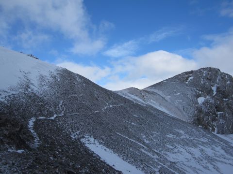
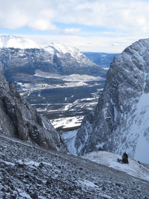
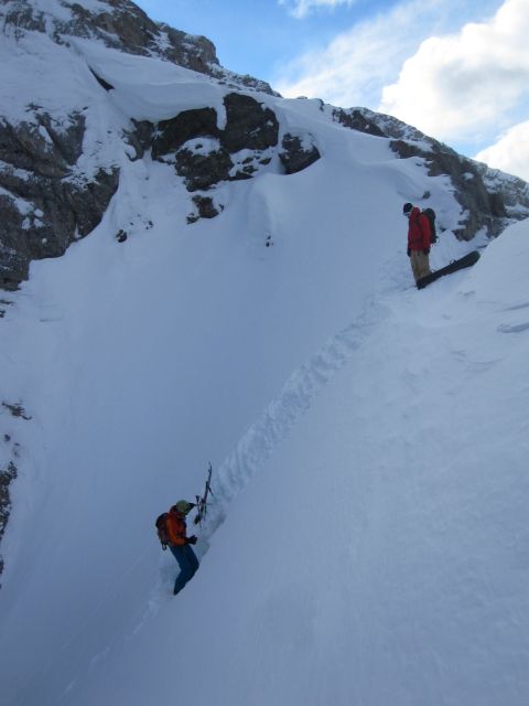
COMP - THE SELL JOB, AND BAD IDEA JEANS (TOWN GULLY)
Guaranteed Snow!
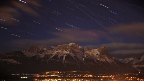
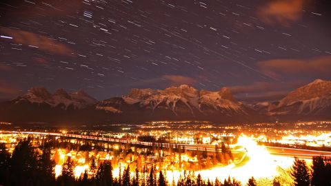
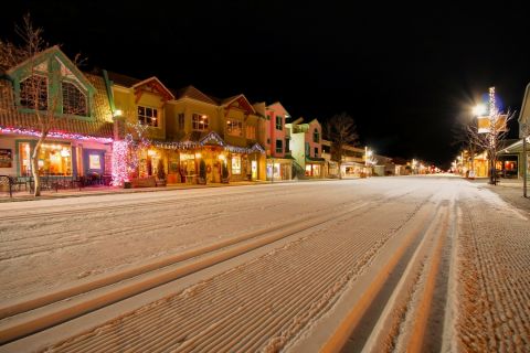
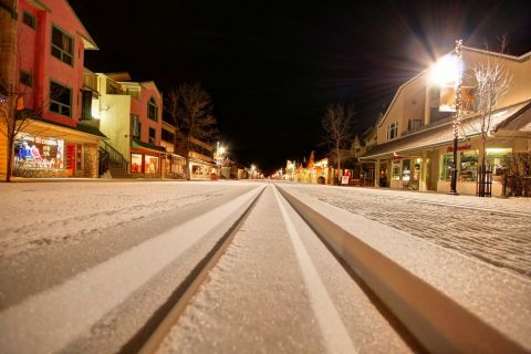
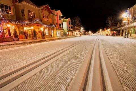
Mother Nature doesn’t always deliver. The Canmore Winter Carnival gets its annual big dump delivered by trucks and is ready for morning, but unfortunately the surrounding peaks don’t share the same privileges. No snow in the mountains leads to desperation and suddenly it is time to put on the proverbial bad idea jeans.
The Sell Job
“Ski tomorrow? We’re going for a stupid mission.”
“I’m in.”
“Town Gully… likely more walking than skiing, $H!T snow, core shots…”
“Never go into sales unless you are targeting lunatics… I’m definitely in!”
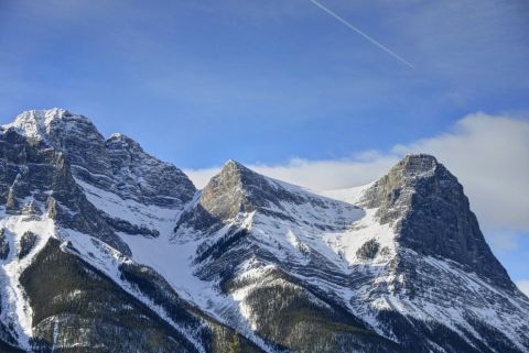
How popular a line is can be gauged by how many nicknames it gets… Visible from anywhere in Town, the popularity of the line is obvious. When it is in shape you can hear the buzz around the shops and cafes… “Town Gully”, “Canmore Couloir”, “Miners Peak”… a personal favourite, “Dog Pond Direct”, which accurately captures the nature of the 3400’ vertical descent from Miners Peak into Canmore’s Quarry Lake off leash dog park. Maybe it should be called “The Poop Chute” as a small nod to the treasures in the dog park below and the quality of the snowpack above.
With patience, snow always seems to come and the line can make for an amazing outing. When patience and common sense play second fiddle to boredom…
Bad Idea Jeans
“Seriously!?! Looks pretty thin…”
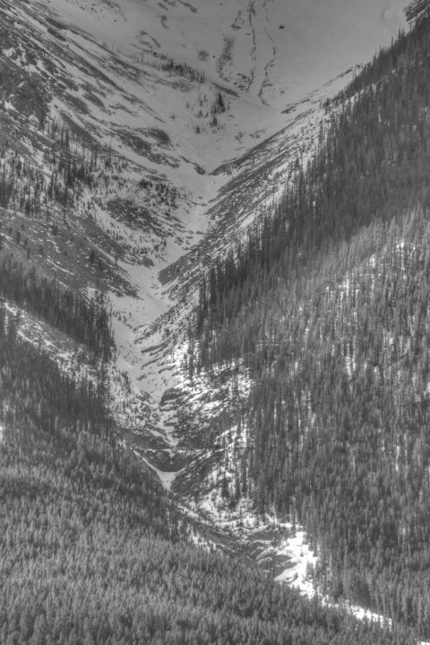
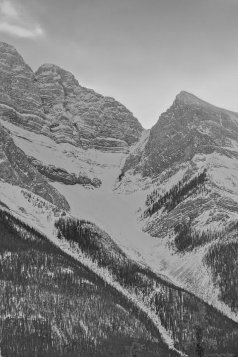
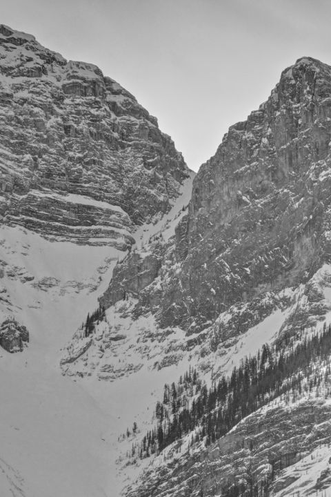
Bad idea jeans are different than reckless abandon. It is good harmless fun. Like, “dare you to eat that bug”… not entirely pleasant, but not going to get you killed either!
Getting There and Back Again
Miners Gully, Canmore Couloir, Dog Pond Direct, The Poop Chute, or whatever name you like, is most easily done as a two vehicle shuttle assisted circuit. From downtown Canmore head up to the Quarry Lake Off Leash Dog Park and leave a retrieval vehicle in the parking lot. Continue in your second vehicle for roughly 6.5km up to the Goat Creek Trail parking area via Hwy 742 Smith Dorrien Spray Trail which is primarily a steep twisting gravel secondary highway.
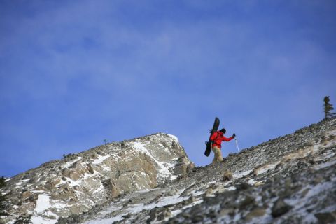
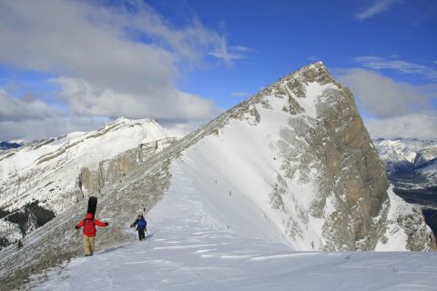
From the Goat Creek parking lot you can choose to skin or hike up the Ha Ling Peak summer trail which starts on the opposite side of the road across the bridged canal. This trail is heavily used in winter and easy to follow until tree line. Once in the alpine, wind and snow often obscure the route. Heading up and trending climber’s right will eventually land you on the trail again. You’re aiming for the saddle between Ha Ling peak and Miners Peak. A few kilometres and about 700 vertical meters will get you to there. From the saddle ascend easily along the corniced ridgeline leading out right to Miners Peak. From just below the peak continue to traverse (now slightly descending) on faint trails to the col between Miners Peak and Mount Lawrence Grassi.
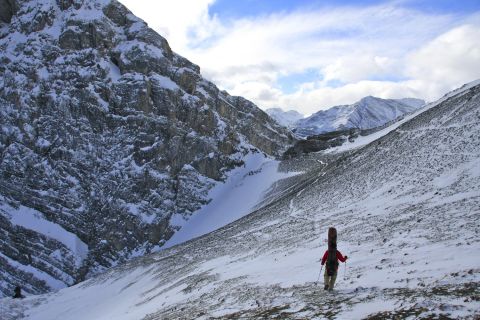
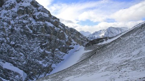
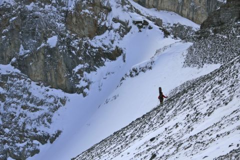
The snowpack here is often extremely poor, careful assessment is necessary.
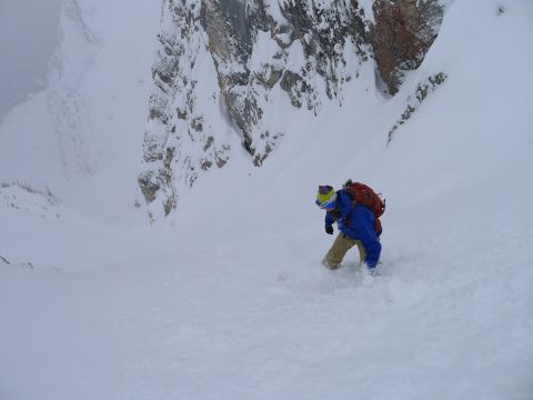
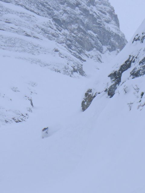
The real excitement is in the narrows for the first few hundred vertical meters. From there a gentle bowl typically offers up easy shnoodling before narrowing back down to a drainage/slide path peppered with rock outcrops and one larger cliff band. If you’re interested in carrying a rope and harness up and down the mountain you can rappel the small cliff, otherwise it can be skirted on skiers left by climbing a short distance uphill into the trees.
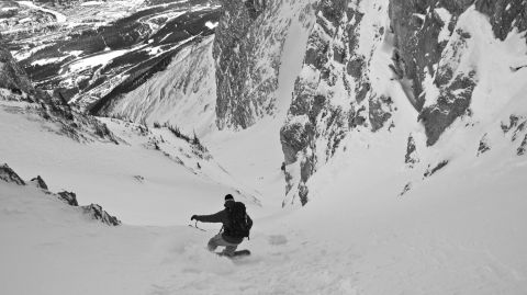
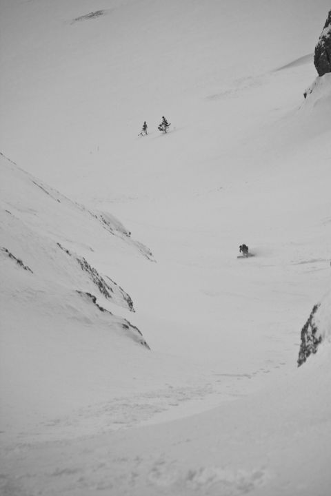
Some tight skiing through the forest and or gully will eventually spit you out on the berms of the Highline mountain bike trail which makes for a zippidy luge run into the dog park and your waiting retrieval vehicle.
The puzzled looks on the faces of the dogs as you glide thru the park at speed is maybe evidence that even they know, under the Gore-tex, you’ve got on a good tight pair of bad idea jeans.
