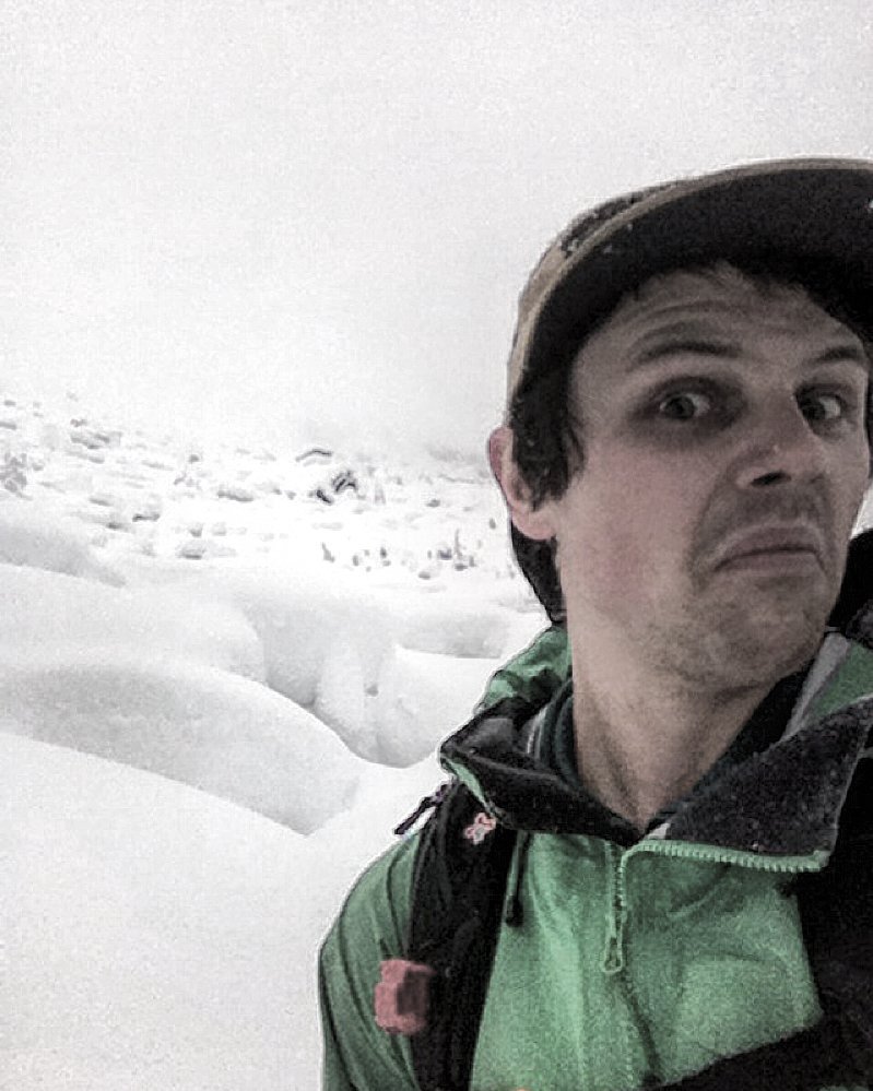
Mt Cartier
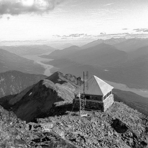
It's like they say, earn your turns, take the path less traveled or if it was easy everyone would do it. Having recently hiked to the summit of Mt Cartier I can certainly relate. Cartier is one of Revelstoke's most prominent peaks and has one of the largest slide paths in Canada known as “Greenslide”. At about 2000m of elevation top to bottom and being over 2.5km across it makes for an impressive path to say the least. The summit trail/Cartier bike trail begins on the lower slopes of Mt MacKenzie.
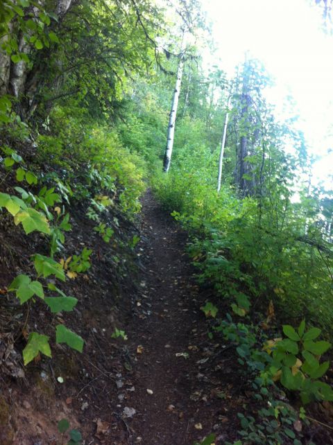
This grade for 9 hours
This portion of the trail is quite bike friendly with many gentle switchbacks and well groomed corners. A bridge brings you over a creek at about 3.5 km onto Mt Cartier where the grade steepens slightly and remains consistent for another 5km or so. A this point you will reach the first structure on your hike. An old log cabin with low walls and an even lower entrance. I don't think anyone would use this particular shelter unless there was some sort of emergency. With holes in the ceiling, walls and a variety of droppings on the floor. From here the trail mellows out and the last ( seemingly endless ) 6km make for friendly travel. Several switchbacks later you enter into the lower portion of Greenslide and begin to gather a sense of scale. Over to the right, the large glaciers of the Gold Range begin to reveal themselves.
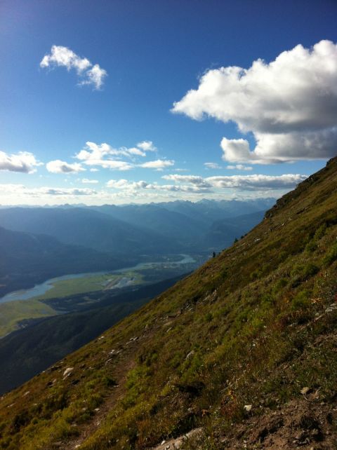
Max feeling small looking over at Revelstoke
Pushing onto the ridge below the summit is where the views really begin to pay dividends. Over to the south are Arrow Lakes and Mt Mcrea, East has the illecillewaet glacier and Mt Ruth, Tumbledown and the surrounding icefields. To the west, Blanket glacier, Mt Bebgie, and Mt Odin.
.jpg)
To the right just below the summit is the fire lookout
A short ridge walk brings you to the base of a 40m scramble and up to a narrow ledge equipped with “safety railing”. Once you make it across the old stone fire lookout sits majestically perched on the edge of cliff.
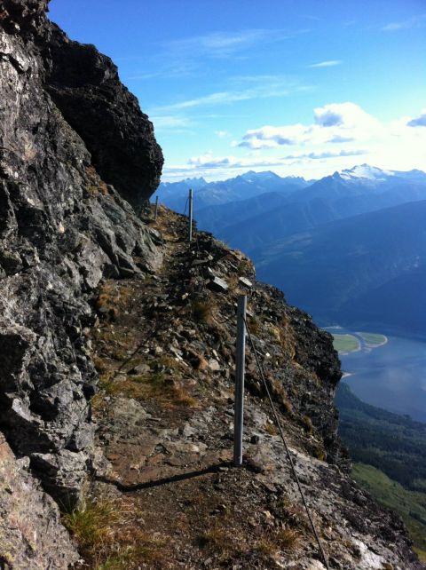
The ledge

Acceptable accomodations
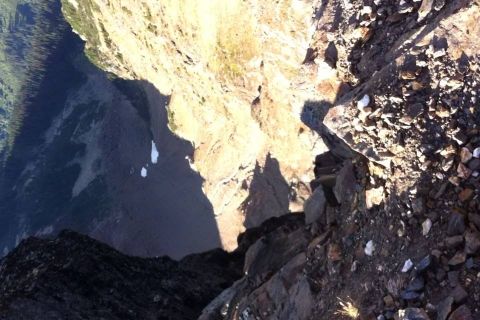
Long way down
We dropped our bags here and made the final 30m or so scramble to the peak where the 360 views were nothing short of extraordinary. It was easy to forget the 9 hour slog to get to this point. In the fire lookout there are flip down metal bunks which made for a surprisingly comfortable place to sleep but made dragging all my camping gear up there a little annoying.
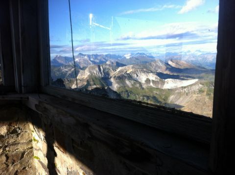
Looking East
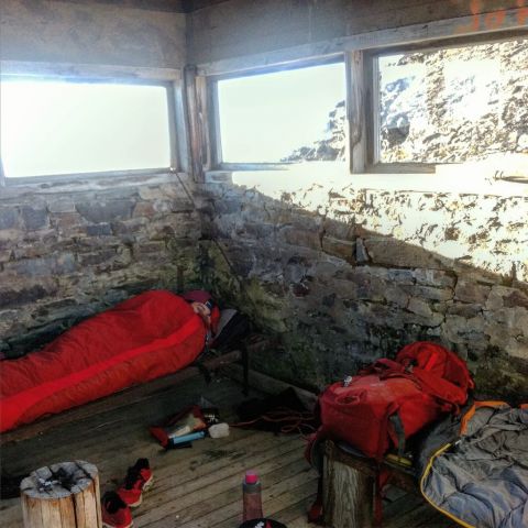
Iv'e had worse nights
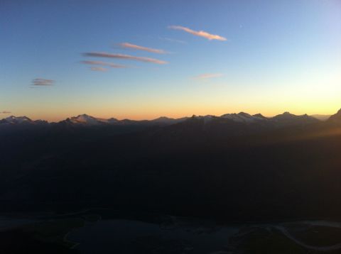
Sunset over the Columbia River
This lookout is maintained by CMH which they and Blanket Glacier Chalet both use as a repeater station. We ate dinner, played cards and watched one of the most incredible sunsets I've seen to date. I missed the sunrise but my guess is that it was pretty good too. Heading back to road just simply reverse the process. We made it to the trail head in just under 5 hours but felt as if the trail would never end. It's funny how the excitement of getting to the top makes you forget exactly how much effort it took to get there. This is an absolute must do in Revelstoke but I recommend taking two days or hike-a-bike to the top as descending is truly a suffer fest but would make for an incredible bike ride. If you have a few extra bucks to spend Selkirk Tangiers will heli drop you at the top!


